
Researchers Use Satellite Images to Track Tourism’s Environmental Impact in Lofoten Islands
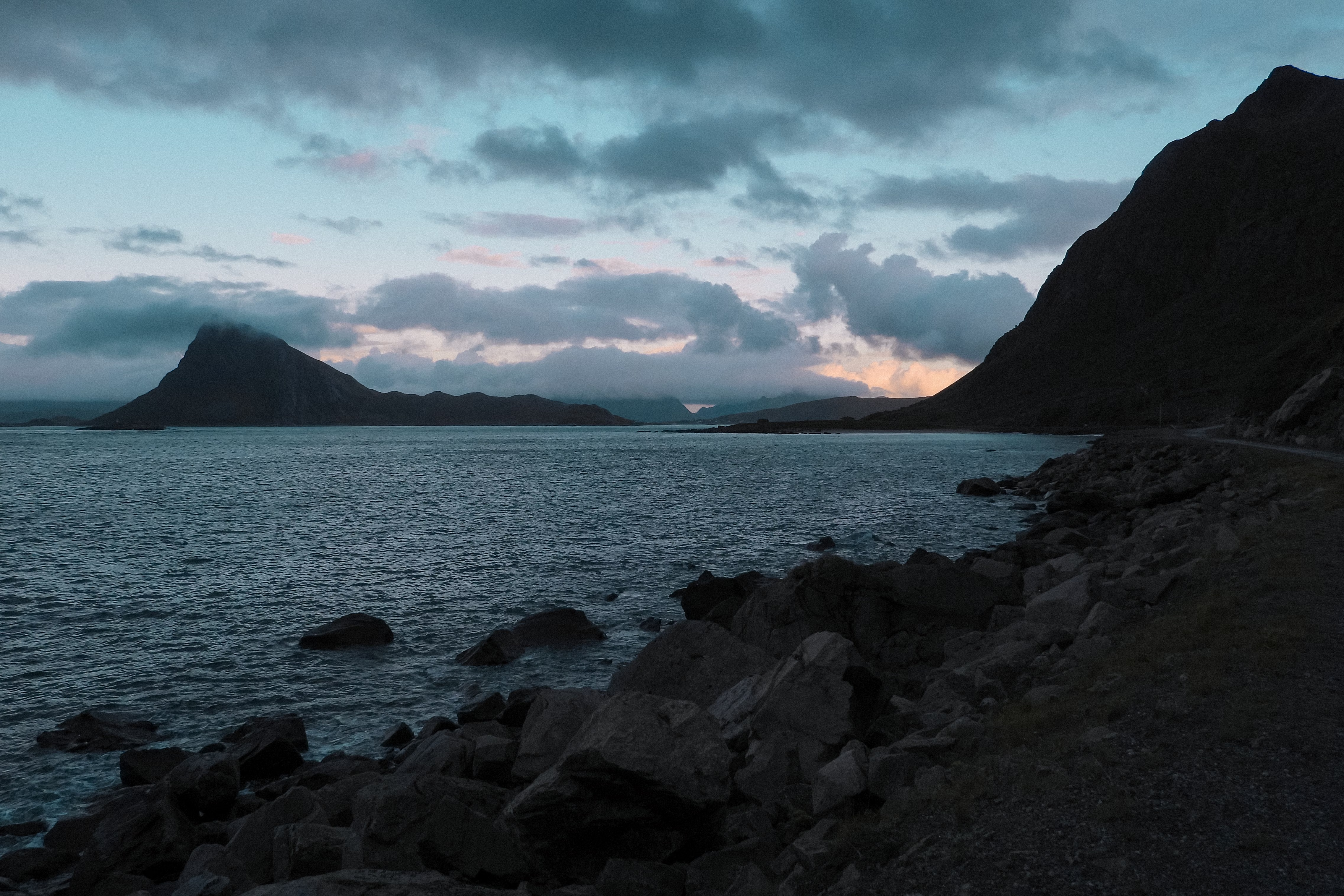
Norway’s northern Lofoten Islands are attracting an increasing number of tourists, raising concerns about the environmental impact. To help document these effects, Norwegian researchers have launched a new project that utilises satellite images.
Steep peaks plunging into a turquoise sea…. Instagram is flooded with videos showcasing the beauty of the Lofoten Islands, highlighting "must-do" treks and "hidden gems" throughout the Norwegian archipelago.
Located north of the Arctic Circle, these islands attract over 1 million tourists each year – a number that is rising.
However, the boom in tourism is also sparking fears about its environmental impact in a country where outdoor access is governed by the “right to roam”.
This concept – which allows anyone to hike or camp wherever they want – has been heavily marketed by the tourism industry, explains Elina Hutton, a tourism researcher at the Lofoten-based firm SALT.
But it also makes managing these natural sites a major challenge. “For example, we can’t have trail counters on every trail because that would be millions of counters around Norway. So we need to find tools.”
‘Tourism impact is already visible from space’
Satellite imagery could offer a solution. It is with this objective in mind that the SALT Trail 2.0 project, funded by the European Space Agency and conducted by SALT, was launched. Hutton, the project leader, explains how the initiative came to life:
“The whole idea started a few years ago. There was a trail in the region where I was working that had appeared just because lots of people went there to take the most Instagrammable photo of the place. And suddenly the trail also appeared on maps. We found out that anyone can add trails on OpenStreetMap, but it also uses satellite imagery to automatically map them. We realised that the impact of tourism is already visible from space.
At that time, it didn't go anywhere further. But then I thought, ‘How could we use this information? How much more can we actually see from space?’
We realised that we are spending a lot of resources trying to understand how many people visit us in nature. We have been using Strava and other data to try to understand if we don't have counters. But that data doesn't really tell us what the impact of the visitation is. Testing different methods, we realised that these satellite images actually show this damage that we're doing.”
The researchers first conducted tests with individual trails across Scandinavia, comparing images of the same locations captured years apart.
They use filters that measure the state of vegetation health based on how plants reflect light at different wavelengths. This highlights areas where vegetation has been damaged, revealing the appearance of informal paths.
The ongoing project is now trying to scale up by using AI and machine learning to analyse the entire Lofoten region and detect where and when new trails are appearing.