
Scientists Assess Tsunami Risk From Unstable Slope in Greenland — ScienceAlert
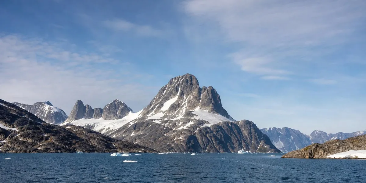
Scientists have analyzed two unstable mountain slopes in the Uummannaq fjord system in Greenland, whose collapses could trigger tsunamis and threaten coastal settlements. As ScienceAlert reports, the results of the analysis were published in the journal Communications Earth & Environment.
The most immediate threat to Ukkusissat
Researchers, including geologist Marie Kjærling, consider the slope in Kangerluarsuk Fjord the most urgent concern. According to their estimates, a potential landslide could displace around 30 million cubic meters of rock. Until 2015, this slope was barely noticeable, but it has developed rapidly since then and may have been accelerating.
The authors of the study suggest that the slope could collapse completely or partially within the coming years or decades, although the exact timing of such a landslide remains highly uncertain. In the event of a collapse, the wave could reach the settlement of Ukkusissat, located about 25 km away, in just six minutes. The wave run-up there could range from 3 to 7 meters.
More current news is available on the UA.News Telegram channel Telegram.
Slope in Karrat Fjord
Another large unstable slope is located in Karrat Fjord, about 3 km west of the site of the 2017 landslide. Its area above sea level is 2.65 million square meters, while researchers estimate the volume of potentially unstable material at approximately 400 million cubic meters. They describe it as one of the world’s largest mapped active unstable slopes.
In 2017, a landslide on Mount Umiammakku in Karrat Fjord triggered a tsunami that reached the village of Nuugaatsiaq. The wave run-up reached about 10 meters; four residents were killed and another nine were injured. The village has remained abandoned since then.